Midterm: On the Road with Charles Cushman
On the Road with Charles Cushman, 1962-63 is an interactive, illustrated ArcGIS map of two
On the Road with Charles Cushman, 1962-63 is an interactive, illustrated ArcGIS map of two
For my midterm exam, I decided to look through the digital collections of the Yale
For my midterm project, I made an Arcgis web app highlighting how New York City
Here is a link to my website: https://midterm.joeychan.sites.carleton.edu/uncategorized/georeferencing-the-pennsylvania-railroad-a-digital-mapping-project/ This project uses Allmaps and ArcGIS to georeference a historical Pennsylvania Railroad map, allowing viewers to explore and compare nineteenth-century railroad networks with modern geography.
I analyzed the Oxford Library’s collection of medieval manuscripts and created an interactive map showcasing
Project Members: Michael Dipeolu Project pitch + objective The overall goal of this project is
Introduction For our Digital Humanities final project, our group members: Joey, Rigley, Joshua, and Peter,
The members of our group include Akweley Sai, Mason Lack, Kate Korb, and Max Southwell.
Group members: Lily, Matilda, Mandy Our group would like to focus on analyzing different mentions
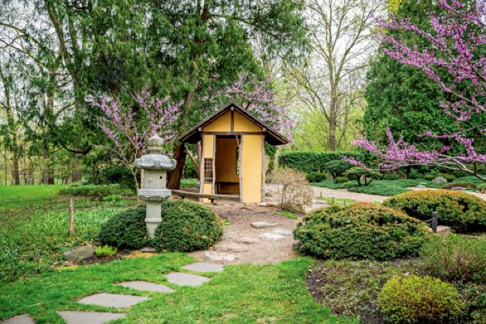
Reflections on the photogrammetry processing of one of Carleton’s garden icons.