The original Idea for this blog post was to map Houston, but none of them i found were the proper format (either png or jpeg). Eventually I settled on the 2nd place I’ve spent most of my life now, Minnesota, and chose Minneapolis to geo-reference. The overall process, when things work properly, isn’t inherently difficult, but my main issue was seeing “Failed to fetch data.” or ‘The server did not return valid JSON.” after multiple attempts posting different images of Houston and Minneapolis. I used the Allmaps Editor for this project, and overall was pleased with the result. My work can be viewed here.
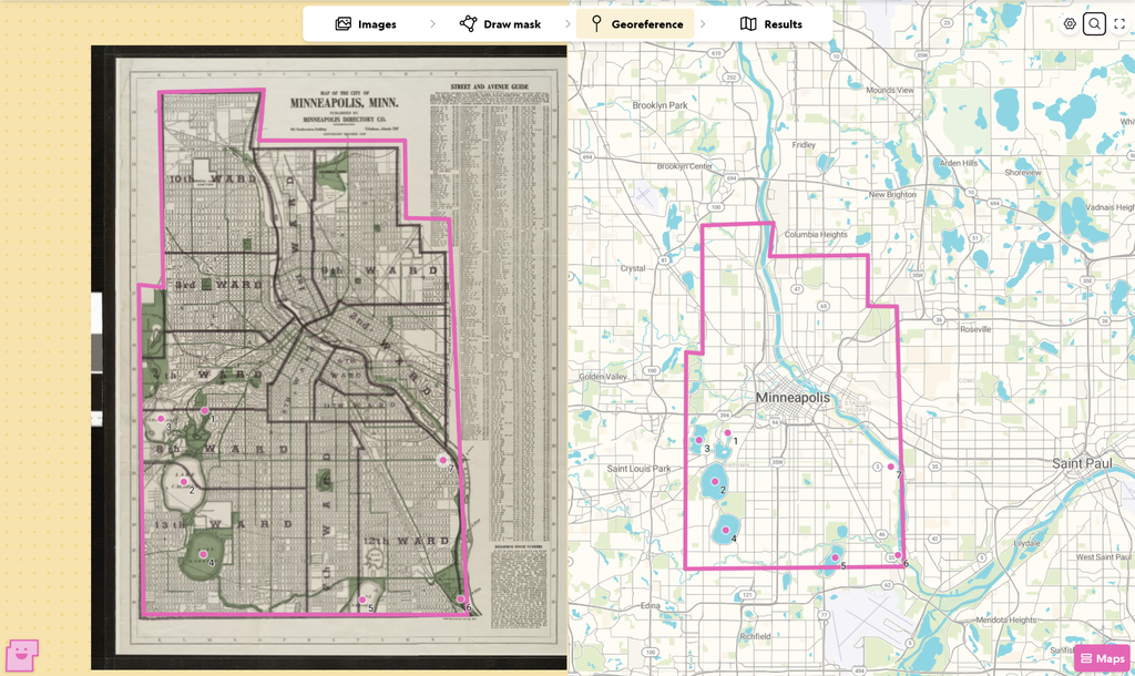
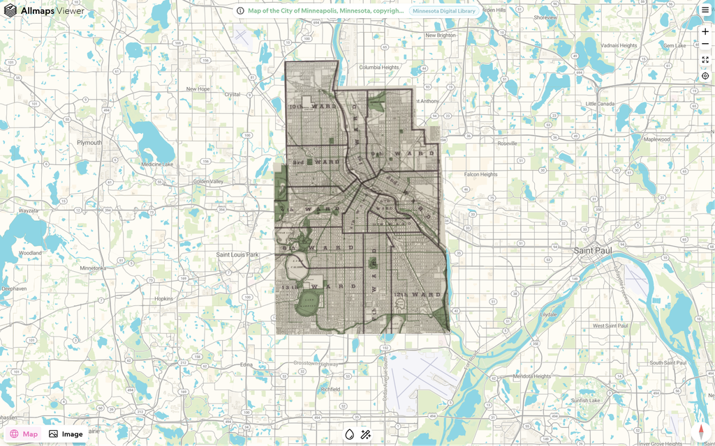
One reason I’m glad i chose somewhere in Minnesota would be the benefits of its plentiful natural occurring landmarks. It’s known as the land of 10,000 lakes, and they were very helpful in mapping the area in my mask.
These types of tools are definitely very beneficial, but I think they’d have less of an application to workings of art or things with symbolic meanings in general. If certain paintings are meant to reflect locations through meaning rather than literal landmarks, trying to geo-reference that wouldn’t be very applicable.