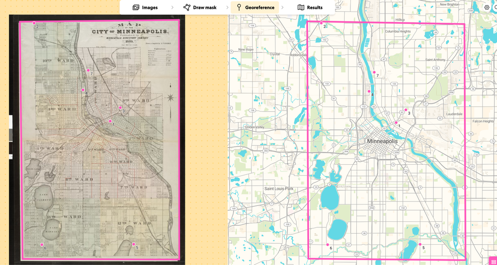
Given my prior experience working with GIS systems, I was fairly familiar with the processes that go into georeferencing historic maps. In turn, I was able to conceptualize the ways in which georeferencing was incorporated into other DH projects that we have looked at. Nevertheless, georeferencing this map of Minneapolis created in 1889 made clear that all georeferencing projects, especially those at scale, require a lot of work and manual labor.
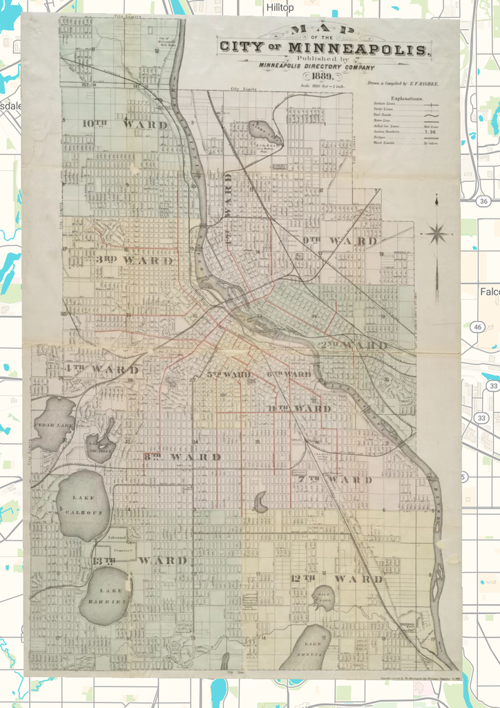
There are a variety of different formats that you can access this map in. While you can view the map in the AllMaps viewer, you can also export them as XYZ tiles, a georeferenced annotation, or as a GeoTIFF.
Once the map is georeferenced, there are numerous possibilities. You can digitize features of interest in the map for further study or stack multiple georeferenced maps created at various points in time to examine change over time in a location of interest. It is also possible to bring the GeoTIFF into systems such Esri’s StoryMaps to help tell a larger narrative of interest.
While these are just a few possibilities, one must be cautious when using georeferenced maps. First, from a geospatial analysis side, georeferenced maps are only as good as the control points that are chosen and map projection/transformations that are applied. All historic maps are different in terms of their projections. Thus, for each map, to get as precise of a georeferenced map as possible, you need to match your digital map’s projection as closely as possible to the historic map you are hoping to geolocate. Second, one should think critically about the information that maps present. As discussed in class, maps tell a specific story and uphold particular understandings of space. Though georeferenced maps are exciting tools in understanding history, we must see them as partial representations of space working within specific agendas.
Finally, georeferencing will not work on all maps. Some maps (medieval maps come to mind in this case) tend to be much more impressionistic and are not laid out on a grid. While a research project may be interested in where specific locations that are displayed cartographically were originally located, georeferencing these maps will warp these images and their understandings of space in ways that are entirely inaccurate and imprecise.