This was my first time georeferencing anything, and I’m not sure it changed how I experienced the other projects we’ve done in this class. It was definitely an interesting experience, though. I wasn’t expecting there to be so many similarities with the physical map and the digital one, considering that there are always buildings and bridges being torn down and new ones being built in their place. I can access my map in Allmaps, use the Georeference annotation, or use XYZ map tiles. I can also get a GeoJSON file, GeoTIFF, or use a web mapping library.
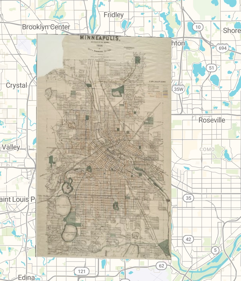
Once you have a georeferenced map (that is hopefully much better than my attempt) you can use it to draw conclusions about how the area has changed over time and draw on other historical data to back up your claims. You can also stack more than two maps of the same area to achieve an even greater effect and be more detailed in your research.
One of the problems with georeferencing with physical maps is that there is the possibility that things will not line up perfectly, and the one doing the georeferencing has to make the executive decision about what to use as a reference point. This can lead to incorrect information about whether a landmark, especially a human-made one, has moved over time or not.
This also moves from difficult to impossible when dealing with incredibly old maps, as they are not accurate enough to be used. Additionally, not all maps were made from a perfect top-down view, also rendering them impossible to georeference well.
Georeferencing does not seem appropriate for projects requiring knowledge about how people moved about the land, or how crops were grown, and other information in that vein. The most georeferencing can do is provide a layout of what the ground looked like, not necessarily how it was used or how that usage changed. It also does not seem appropriate to use it for projects that require incredible precision, as traditional maps are never going to be exactly the same as a digital one.