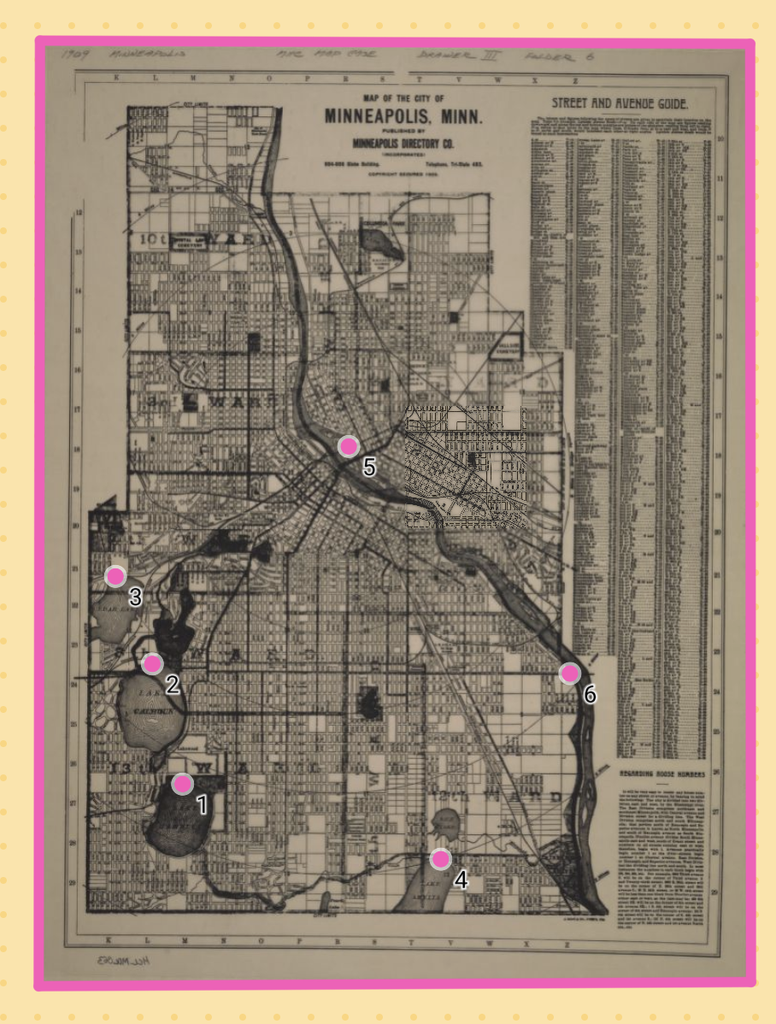
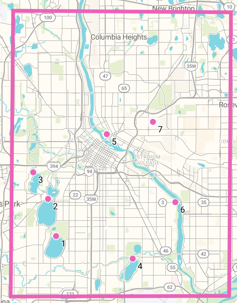
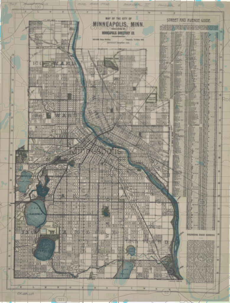
For this week’s blog assignment I obtained the map, the Map of the City of Minneapolis, from the Minnesota Digital Library. I used the AllMaps Viewer to create the georectified map.
Getting the opportunity to go through this process myself helped me understand how much technology has developed and made things more accessible as this process was pretty simple and took less time than I thought it would. However, I understand that there’s still work that has to be done by people such as selecting reference points and ensuring the orientation of the match is accurate.
Looking at the Map page again, I can export the rectified map as a Georeference Annotation, XYZ map tiles, GeoJSON, and a GEOTIFF. I didn’t explore these export options, but I’m sure these options are useful for researchers that are trying to explore more in depth this process.
A possibility I see with the georectified map is seeing how geography has changed over time by comparing historical maps with modern landscapes. Some of the next steps would be finding ways to make the matching of historical maps to modern maps as accurate as possible. Right now, it’s dependent on the user which can leave a lot of room for error which could be a problem. Moreover historical maps are not always created for accuracy and so when georeferencing, it’s important to keep in mind what the original intent was.
I don’t think that georeferencing is suitable for all research questions. Like I mentioned earlier, if the original purpose of the map was symbolic, such as religious maps, then georeferencing it and comparing it to modern landscapes may be meaningless. As we discussed in class, maps are more than just pure geography and the aim to create the most accurate or precise map is not always the main priority.