For this week’s lab, our group continued our work on capturing Carleton College’s Japanese Garden into an interactive digital space. I worked on documenting the “white gravel” area, translating a physical space into a digital 3D model using photogrammetry.
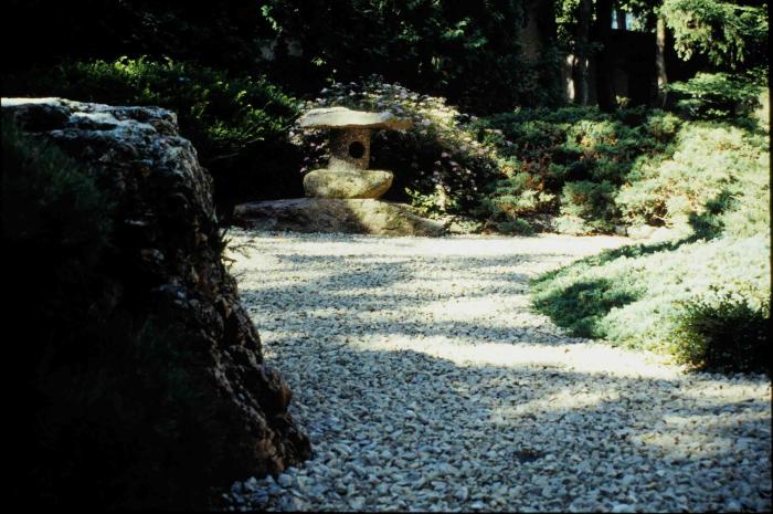
To build the model, I started by taking a comprehensive series of photographs around the white gravel area, keeping lighting and angles in mind to ensure good coverage. From there, I processed the image sets using two different photogrammetry pipelines: Agisoft Metashape and Autodesk ReCap.
ReCap was simpler and easier to use, but it took longer to process. The final ReCap mesh was huge and had over 6 million faces. I had to edit it an optimize it in Blender before converting it into a GLB file and uploading it to our Drive. The mesh with Metashape took longer to create; there were more individual steps and there was more control over the process. I felt like the ReCap mesh was higher quality, though there could have been some settings to adjust in Metashape for a better result.
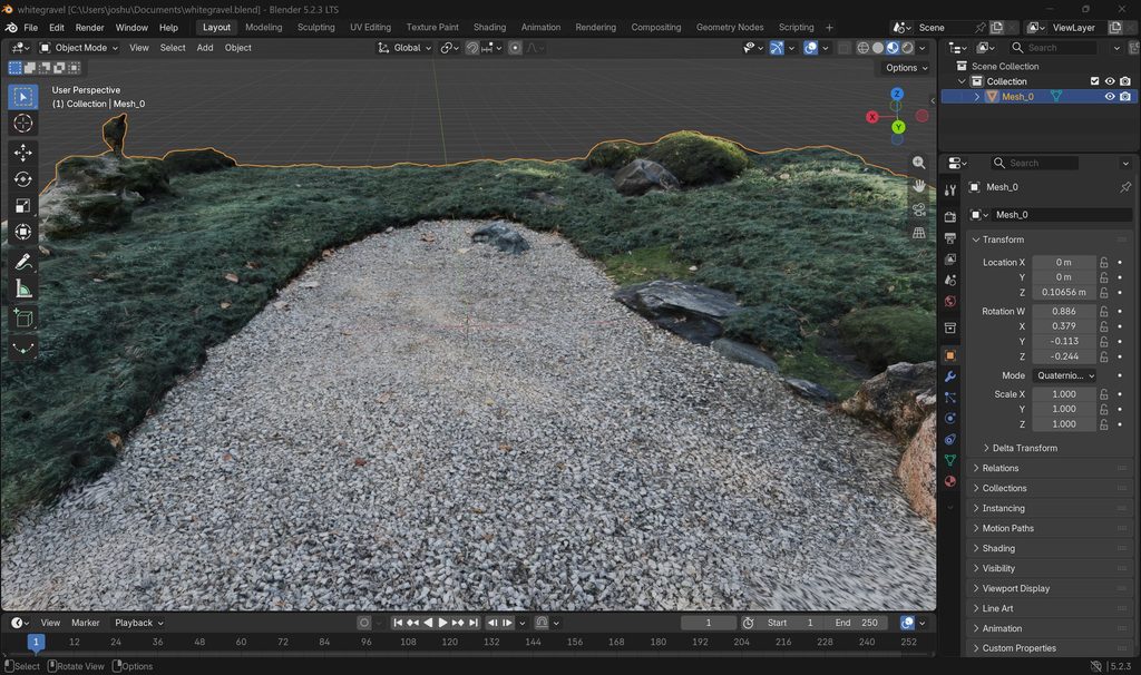
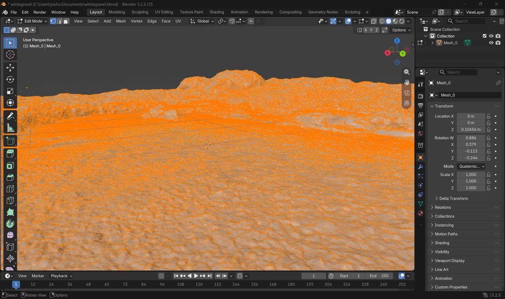
When I think about whether the process of photogrammetry encourages close looking and attention to details you might otherwise have ignored, I found that it definitely does. When you are just walking through the garden, you tend to take the landscape as a whole, but photogrammetry forces you to think like a camera and a computer simultaneously, by paying close attention to how light hits the stones, how shadows obscure textures, and how different elements overlap from various angles. This leads me to notice subtle shifts in elevation and the distribution of the gravel that I would have completely overlooked during a casual walk.
Reflecting on how moving from passive observer to active modeler changes your thinking on communicating about campus, lived experience, and history to various publics; being a passive observer lets you consume a space as it is presented, while becoming an active modeler reminds you that digital spaces are constructed choices. When you have to manually troubleshoot missing geometry, clean up noisy meshes, and build a digital artifact from two-dimensional photos, you realize how much interpretation goes into digital preservation, which changes how you communicate campus history because you are no longer just showing a picture, but inviting people to interact with a spatial interpretation that you built piece by piece.
I thought it was super interesting how you compared ReCap to Metashape. I was responsible for Scaniverse in my group, so it was cool to hear about another way you can make a model, and the specific differences between two programs—I’ve looked at Metashape a little bit, but I’ll have to check out ReCap! I agree that modeling kind of forces you to pay close attention to the details of an object. Great post!
I was really curious about how the gravel “water” was going to turn out, and your group completely exceeded my expectations! The fact that the final ReCap mesh had over six million faces is crazy, but that is sort of what I imagined it would spit out. You and your group did a great job handling all of that! Your point about digital spaces being constructed choices is a really powerful reminder, and it inspires me to be very deliberate with these projects.
Hi Joshua, I am very impressed with your group’s 3D model. I can imagine it was a difficult process to conceptualize 3D modeling a feature whose angles you cannot see; it’s essentially a surface, so the fact that you were able to do it is very impressive and interesting. I like your point about interpretation being a factor of digital preservation. I feel like before this class, I would’ve considered some of the work we’re doing as being straightforward in terms of taking what is in the real world and preserving it in some digital capacity. However, as you point out, lots of decision-making goes into that process. Doing digital preservation requires really careful choices so that one can represent the artifact/location/etc. accurately and interestingly. Great post!
Your 3D model looks so detailed while being relatively quite flat in comparison with the other structures of the garden. Having only used Agisoft Metashape, I am interested in seeing more of how you spent your time with Autodesk Recap. I am pleased to hear that Recap was easier to use but I am also glad that I went with Metashape for our process — I like to have more control when designing the model. I agree with your point on interpretation and digital preservation: it can be difficult to get the ‘fullest’ essence of an item or object while also not getting too creative with the designs. I think if we have multiple digital interpretations of objects like those in the Japanese garden, it would give viewers a wider base from which to learn.