In this Blog I georeferenced Minneapolis using Allmaps Editor, the result was very interesting:
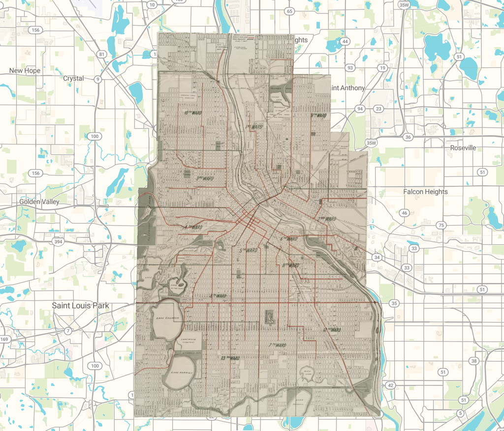
https://viewer.allmaps.org/?url=https://annotations.allmaps.org/images/476a6f6fa33885ee
How this process changed my understanding of spatial digital humanities
Creating this map helped me see how digital tools can transform an old historical document into something that can be explored and analyzed geographically. Instead of simply reading the map as a record of Minneapolis in the past, I could place it in a modern geographic context and consider the relationship between historical and present-day locations. I also learned that digital humanities involves making decisions about how historical information is represented, not just using technology to display it.
Formats that are available for accessing the map
The AllMaps export menu provides access to the map through the AllMaps Viewer, georeferencing annotation data, and XYZ map tiles. The Viewer allows someone to interact with the map, while annotation data preserves the information. Having multiple formats makes the project more accessible and creates opportunities to reuse the map in other digital environments.
What researchers could do with a georectified map
The map could serve as a starting point for investigating how Minneapolis developed and how its geographic layout changed over time. Researchers could compare historical street patterns with present-day roads to identify areas where the city expanded, reorganized, or changed substantially. Another possibility would be to combine several historical maps with property records or population data. This could help researchers investigate connections between urban growth, land use, and demographic change.
Challenges that could arise during georeferencing
The process requires judgment because historical maps may not accurately represent distances, directions, or geographic boundaries. Selecting control points is particularly important. Even when individual points seem reasonable, errors can produce distortions elsewhere on the map. There is also a risk of treating the modern basemap as the definitive version of a location, even though the landscape itself may have changed since the historical map was produced.
Questions that cannot be answered through this method alone
A georectified map can help establish where something was located, but it cannot establish the reasons behind why somthing happened to why a map changed. It is not sufficient on its own for evaluating government policies, understanding conflicts between communities, or determining how residents experienced urban change.