URL of the image: https://archive.carleton.edu/media/collectiveaccess/images/2/8/1/36573_ca_object_representations_media_28154_large.jpg
link to the map: https://arcg.is/11b8m82
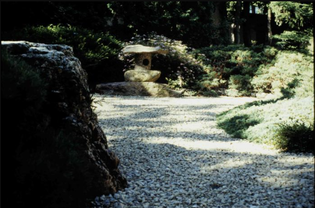
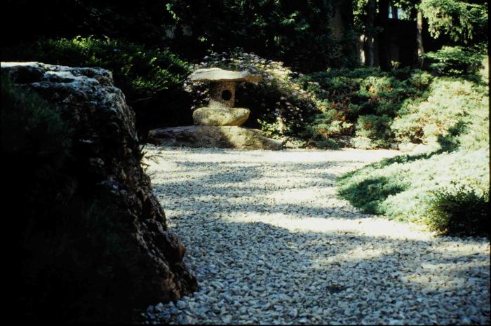
Our project focuses on modeling the gravel water feature in the Japanese Garden. As described in the garden’s design, “Lake Superior beach stones become a mountain stream, while the white gravel is transformed into a lake with rock isles and spanned by a gently-bowed wooden bridge (to be enjoyed with one’s eyes, rather than trod upon!).” Through photogrammetry, we aim to capture the details of this landscape and create a digital model of the garden.
To begin the process, I used the Polycam app to capture the garden through a 360-degree image and video. I then examined the georeferenced map and outlined the gravel water feature to identify its boundaries and better understand its location within the garden. These steps helped me connect what I observed in the physical space with its digital representation.
Attempting to model an object requires us to look at it from multiple angles and carefully examine its overall shape and structure. When we simply view an object through photographs or maps, we usually see it from only a limited number of perspectives. By modeling the gravel water feature, we need to understand how its different parts connect and how the landscape looks from different viewpoints. This process allows us to develop a more complete understanding of the object rather than just observing its general appearance.
Photogrammetry also encourages us to pay closer attention to small details that we might normally overlook. To create an accurate model, we need to examine the shapes, textures, boundaries, and spatial relationships between the gravel, stones, and surrounding features. Details that might seem insignificant when casually viewing the garden become important when trying to reproduce it digitally. This process helps us appreciate the complexity of the landscape and notice features that we might otherwise take for granted.
Next week, I look forward to learning more about the Japanese Garden, especially its history and structure. I hope to better understand the design choices behind the garden and how its different elements work together to create the landscape we see today.
This is such a wonderful project! It’s really interesting how pairing Polycam capture with your georeferenced map helps ground your digital work to the actual garden layout. I agree completely that photogrammetry pushes you past surface‑level viewing. When I was making the 3D model using Scaniverse, close looking to the feature is the key to get a perfect model.
I totally agree that not only do the specific details of an object need to be considered when one is modeling it, but the interplay between the features as well. I was also really appreciative of the way that very intentionally modeling my object forced me to slow down and appreciate all the details at play. How an object interacts with its environment is certainly something which is as important to capture as the object in and of itself!