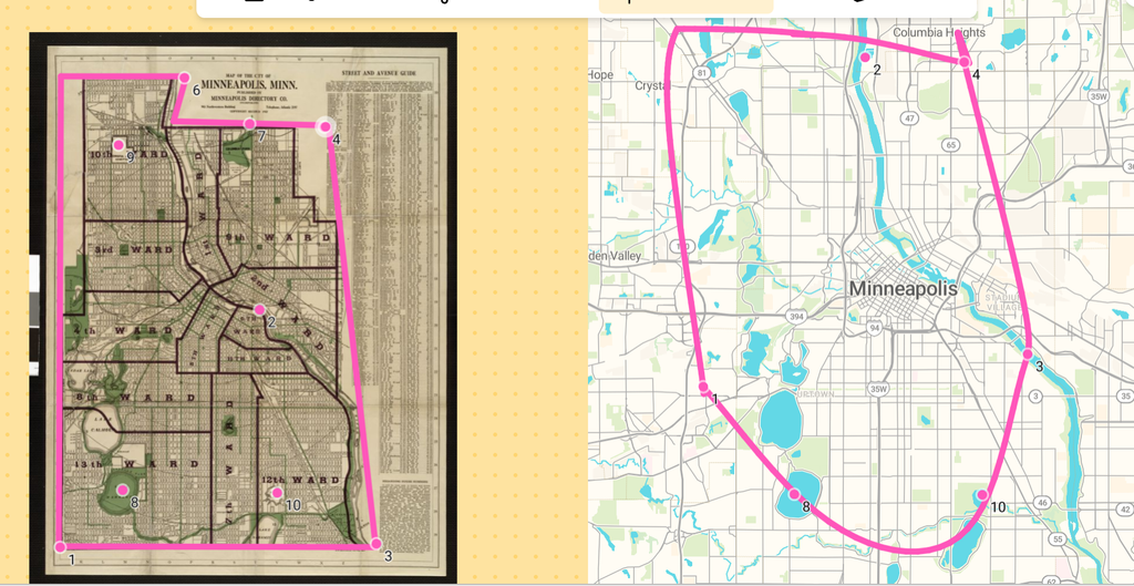
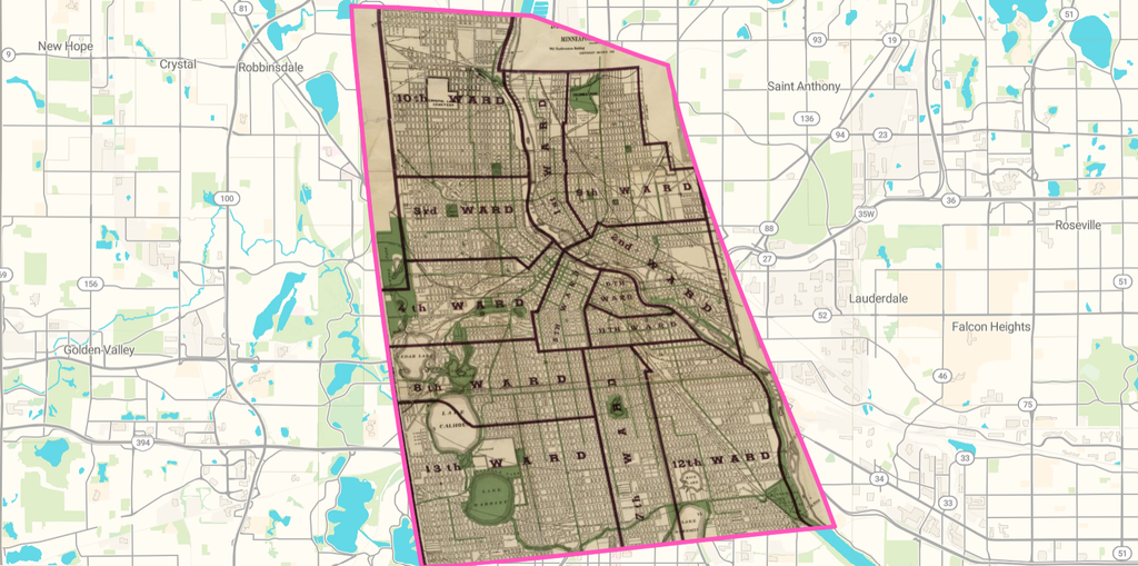
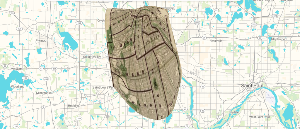
There were so many options to choose from when it came to the map of Minneapolis I wanted to use. I believe that a perk to having digital maps is that they can be kept up to date. Sometimes, certain areas, buildings, locations get changed or removed. I would say that this changed my understanding of earlier spatial Digital Humanities projects because it provided me with a different perspective. With the map page, I can zoom into specific street names, lake names, building names (rarely), and neighborhoods that exist within the city. Also, multiple maps of the same region can be created to be used for various purposes. The map of Minneapolis I chose was created in 1922. I decided to scroll under the image to find some information about this map. I discovered that it was created for some political purpose(s). Given that there were multiple wards established on the map, I could potentially hypothesize why the map was organized in that manner. Once having a georectified map, I could dive deeper into the relationship between the past and current location. What was so significant about specific points on the map and why does it/does it not exist anymore? Information about why it was created and what it is currently being used for could be helpful. Also, we could find the reasoning or some clarification as to why certain things occurred. Maybe there were political movements, voting locations, and other things. Some problems with georeferencing could be that it does not accurately place the historical map into the present map. I don’t believe georeferencing would be appropriate for learning information about the current map. It would not be logical to use decades old maps and apply it into a modern context. I find that it is easier to utilize older and newer maps to establish past, present, and future connections. Overall, georeferencing is a unique tool and with more developments, it can become increasingly reliable.
Below are images of my maps!
Here is the link to my map: https://viewer.allmaps.org/?url=https://annotations.allmaps.org/images/adbfdfc71c1966be