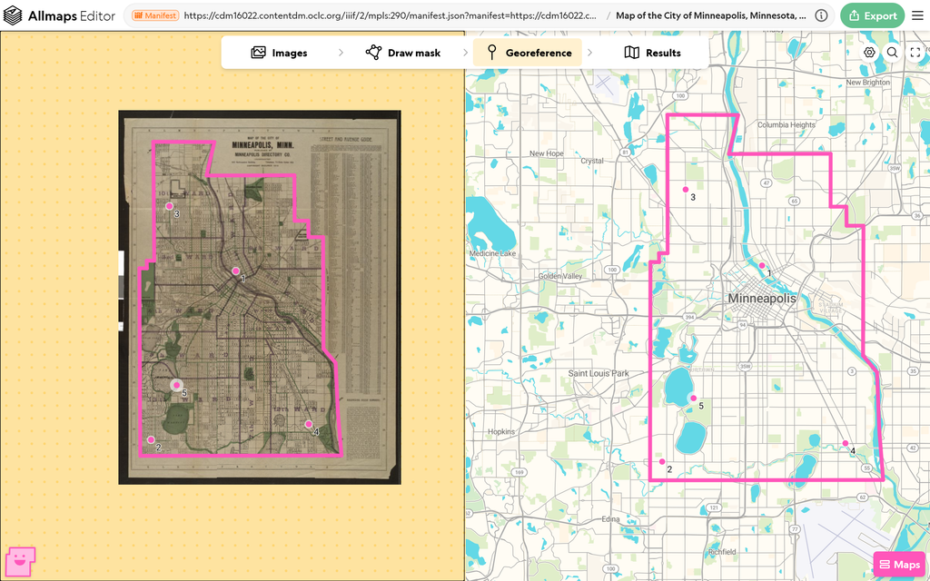
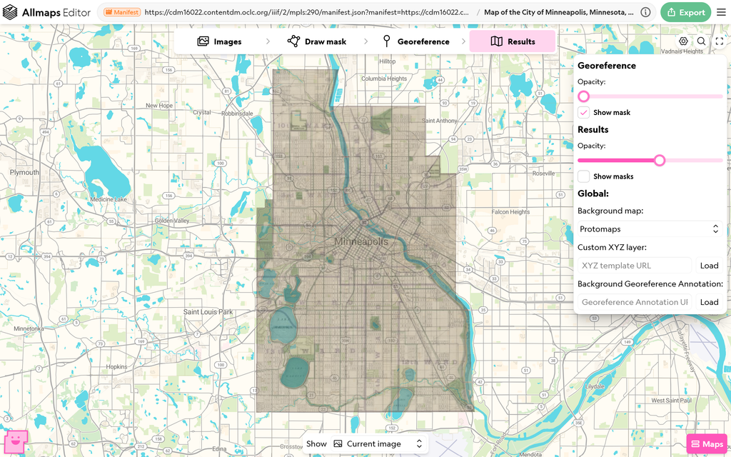
For this assignment I georeferenced a map of Minnneapolis, Minnesota, published by the Minneapolis Directory Company in 1914. I set five control points: downtown by the river, Lake Calhoun, and three more in the northwest, southwest, and southeast. Some of the control points already existed upon import. You can see my georeferenced map in the Allmaps Editor here. Doing this changed how I see the spatial DH projects we explored earlier. I used to think mapping projects simply just placed old maps on top of new ones, but every overlay depends on control points someone picked by hand, and each one affects how the whole map gets stretched. There are also different transformations to interpret those control points like “Polynomial”, “Thin plate spline” and “Helmert”. Now I look at those projects and wonder how accurate each overlay really is.
Once the map was rectified, the Export menu let me access it as a Georeference Annotation, a JSON file that stores the control points and mask, and as an XYZ tile link from the Allmaps Tile Server. The annotation opens in the Allmaps Viewer, and the tile link works in GIS programs like QGIS. Because its position is saved as data, a georectified map can be combined with other information instead of just being looked at. A next step would be georeferencing the same company’s maps from 1912 and 1913 and comparing them to see how the streets and wards changed. I could also trace the ward boundaries and match them with election results from the same years to see how each ward voted.
Georeferencing has problems too. It stretches the old map to fit the control points, so the mapmaker’s mistakes get smoothed over and the result can look more accurate than it really is. Control points also rely on landmarks like shorelines, which can shift over a century, so a point that looks right might be slightly off. The method assumes the map was drawn to scale, so it doesn’t work for a hand-drawn tourist map or a subway diagram, which would get badly distorted if forced onto real geography. It also isn’t suited for questions about how people experienced the city, such as daily life in a certain ward, since a map only records where things were.
I see that you have cropped the extraneous portions of your map out of the geo-reference. I chose not to do so in my own process, but I think you have made the wiser decision: this makes for a more understandable, less-cluttered geo-referenced map. I am also impressed by the control points you chose as they are quite spaced out. I had some trouble matching my own and they were primarily concentrated around a certain area. I am unsure if the street maps would noticeably change between the years 1912 and 1913, but I would also encourage you to undertake what you propose or even geo-reference a different company’s map with a similar theme to this one and see how they differ.