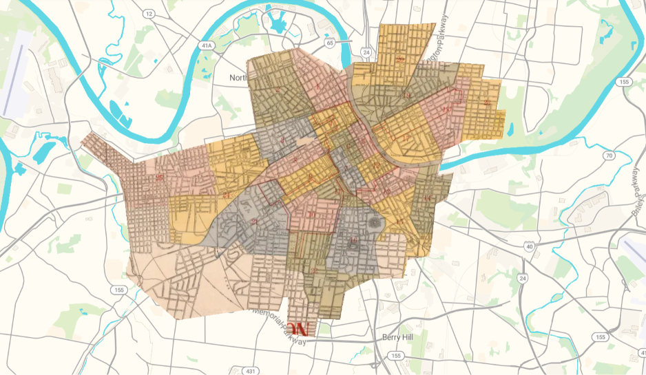
This is a Map of Nashville, Tennessee, from 1916 overlayed over the 2026 digital one. It is a weird map, especially with the different regions of the city (see the red lines.) But it is accurate! I was able to map over a dozen locations, many of which I have physically been to, directly to the 110 year old recreation to the nearest block.
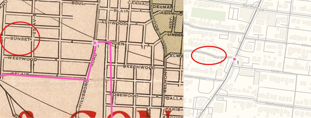
You can view the full mapping here.
Next, I tried Northfield. This map was super easy! Whatever name recognition algorithm the site implemented meant I didn’t even need to find points to reference.
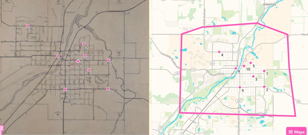
Northfield is a relatively simple town road-wise, unlike the windy, odd configuration of Nashville. Most pleasing is that the outbound roads all seem to connect well too.
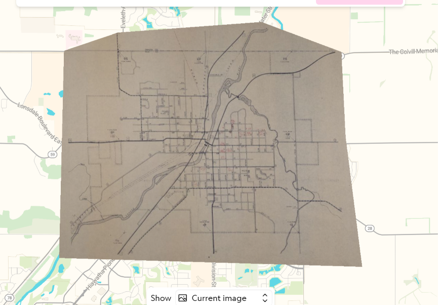
I think I have always known maps to be a powerful tool, as we interact with space every instant of our lives, but I didn’t yet know of this technology. With the power of GIS and IIIF, it is possible to take most maps of the past, modify them in most any way to be more usable (e.g., size, rotation, scaling, color), and interact with them using the world we are already conferrable with.
There are many possibilities with the ways the tool can be used, even for non-professionals. Anyone who is vaguely interested in history can see how the city they used to live or grew up in evolved over time. Historians can use these tools to gain a better understanding of scale when understanding events that require an understanding of who was where, when (this is a most of the time.) Curators can use this to set up interactive maps that the public can physically imagine easily (the next steps would be locating and describing relevant points of interest.)
Just like the color reconstruction, the new technology comes with risks. When you recolor something, you are inherently adding another layer of perspective that is separate from the original time. Additionally, the map itself may contain inaccuracies and biases. For example, the old map of Nashville ‘s rendition of the Cumberland River was quite odd. Thus, projects like this would be inappropriate for questions requiring extreme accuracy, or a representation of the world without any potential for skewness or distortion.