For this week’s lab, I used Allmaps to georeference a historical map of Minneapolis from 1909. The map, originally published with Hudson’s Dictionary of Minneapolis, shows the city’s streets, railways, parks, and waterways. I used Allmaps to match locations on the historical map with their corresponding locations on a modern map of Minneapolis.
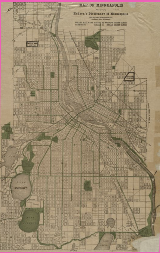
Before this exercise, I hadn’t really considered how much work goes into creating digital maps. One of the more challenging parts of the process was identifying matching locations between the two maps, especially since Minneapolis has changed significantly over time. After completing the georeferencing, I had a better understanding of how projects like Mapping Inequality use historical maps to examine changes in cities. I also realized that maps are not necessarily objective, since they reflect the information and priorities of whoever created them.
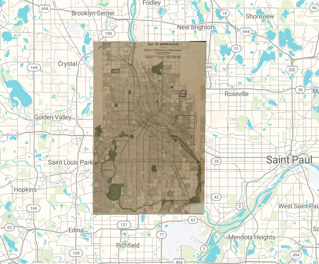
One thing I found interesting about my map was how it highlighted street railways and parkways throughout Minneapolis. Comparing this with a modern map could help researchers understand how transportation and infrastructure have developed over time. Allmaps also provides different transformation methods, including Polynomial, Thin Plate Spline, and Helmert, which change how the historical map is aligned with modern geography. The georeferenced information can also be accessed through digital formats such as JSON annotations and map tiles. A possible next step would be to compare maps from different decades to examine how the city expanded.
However, georeferencing also has limitations. Historical maps may contain inaccuracies, and selecting control points can introduce human error. Additionally, some buildings, streets, or landmarks may no longer exist, making it difficult to accurately match locations. While this method is useful for studying geographic changes, it would be less effective for understanding people’s personal experiences or the reasons behind changes without additional historical sources.
Overall, this exercise helped me better understand how historical maps can be used to study the development of cities, while also showing the importance of considering the limitations of the maps themselves.